
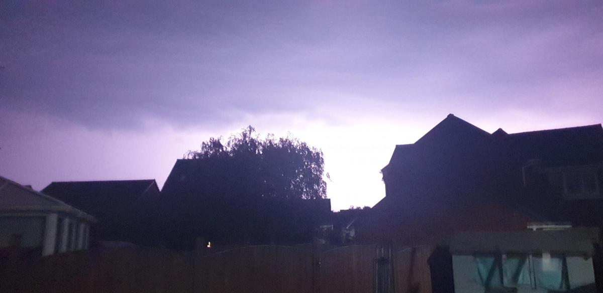
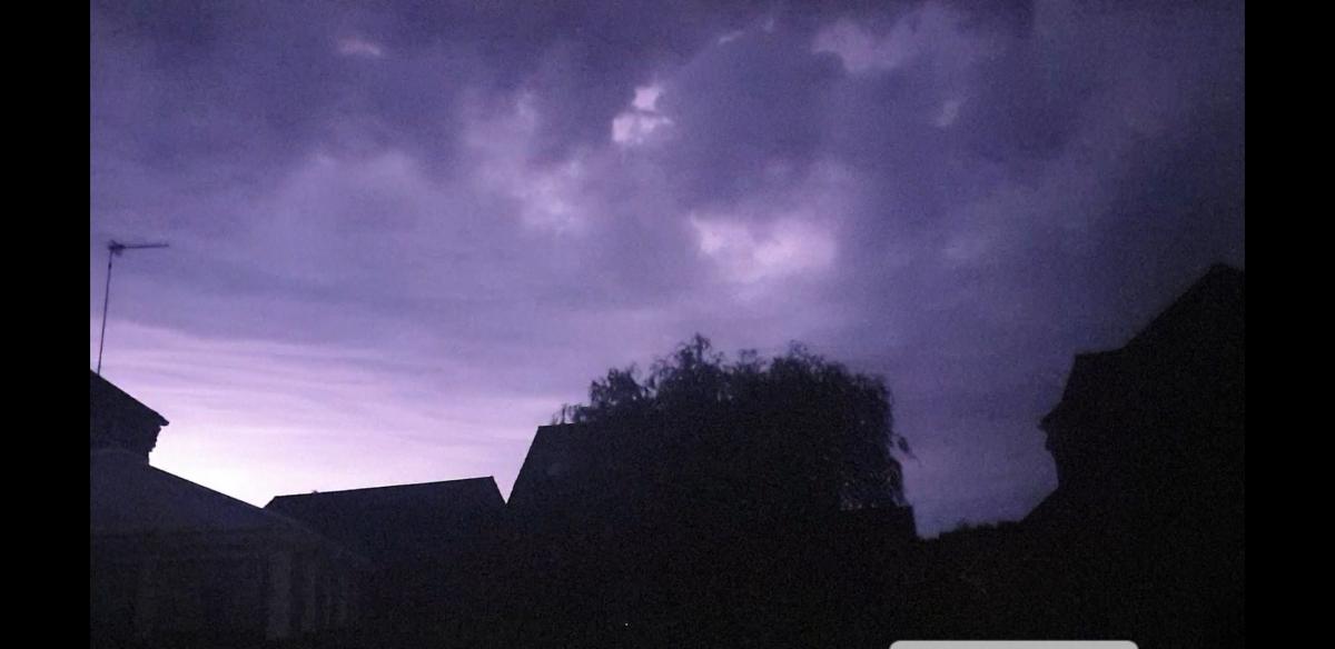
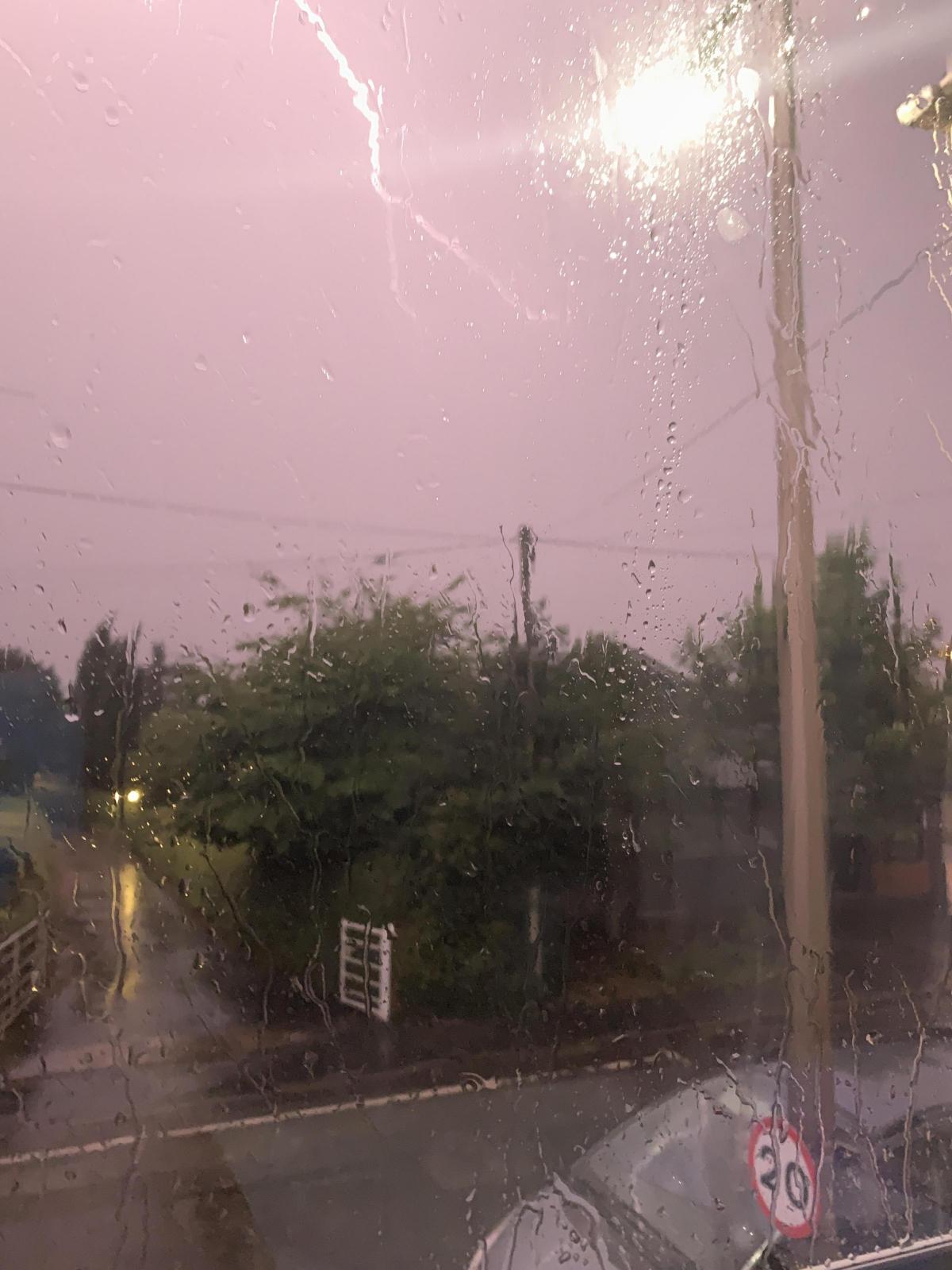
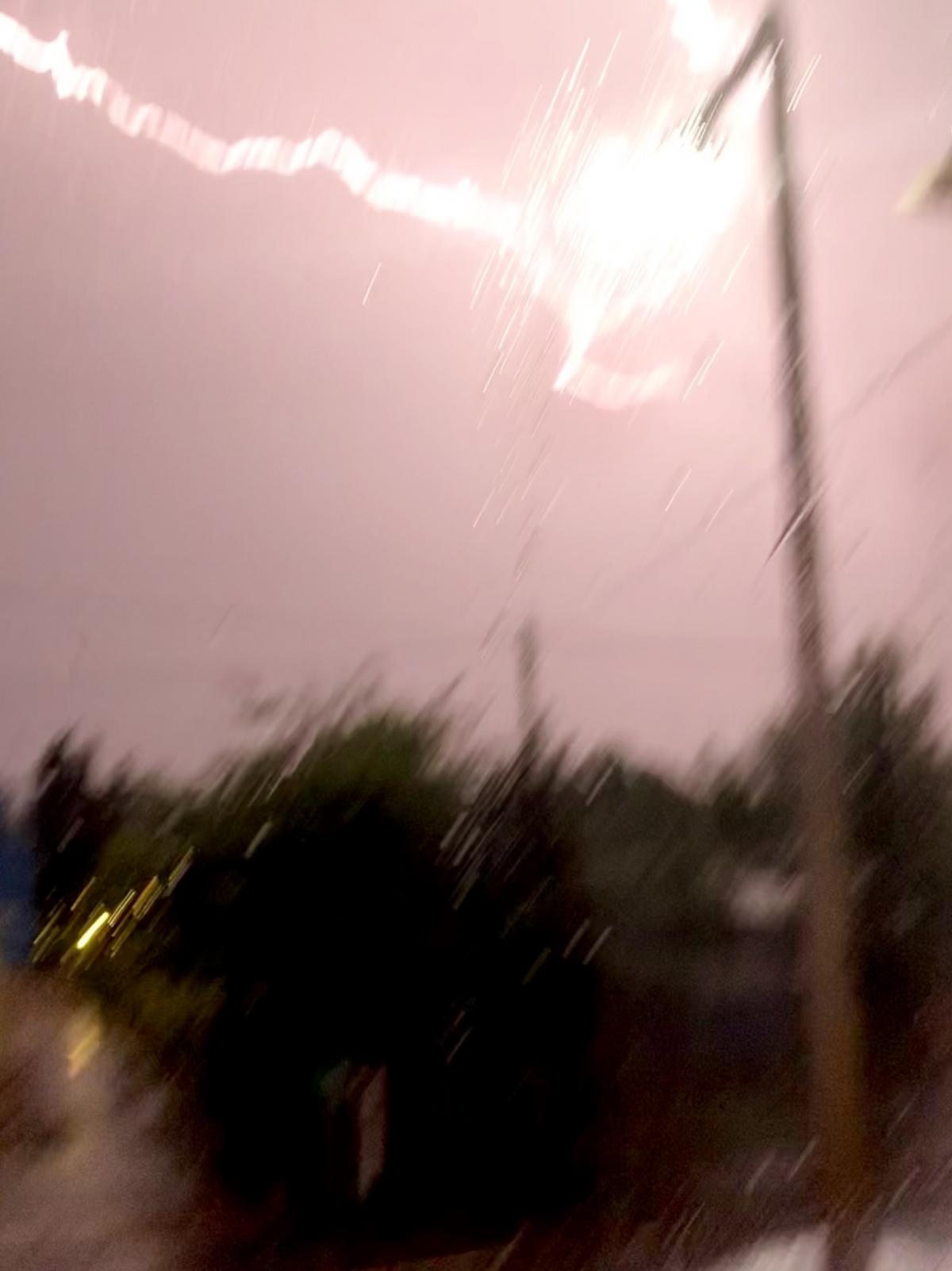
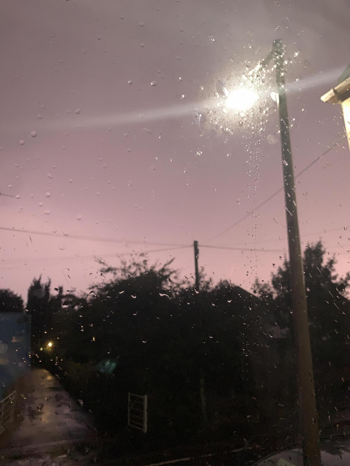
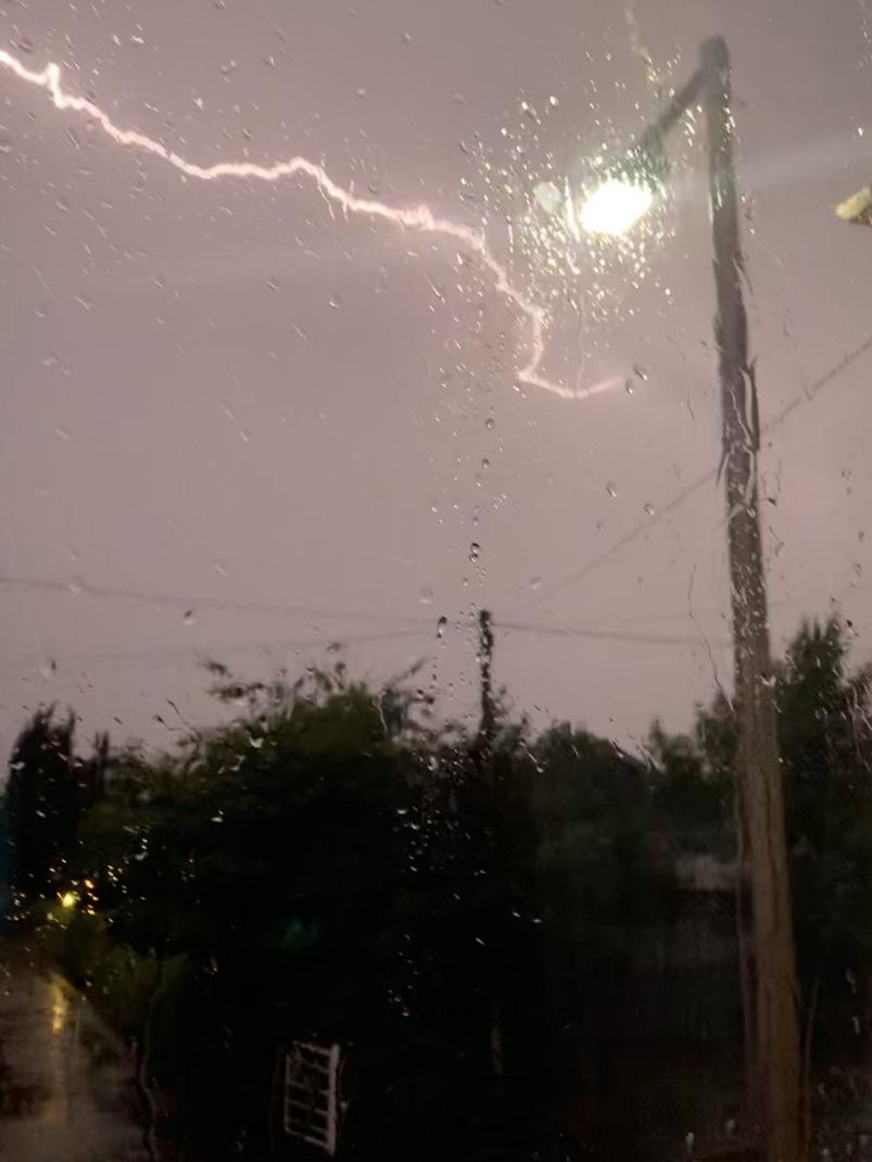
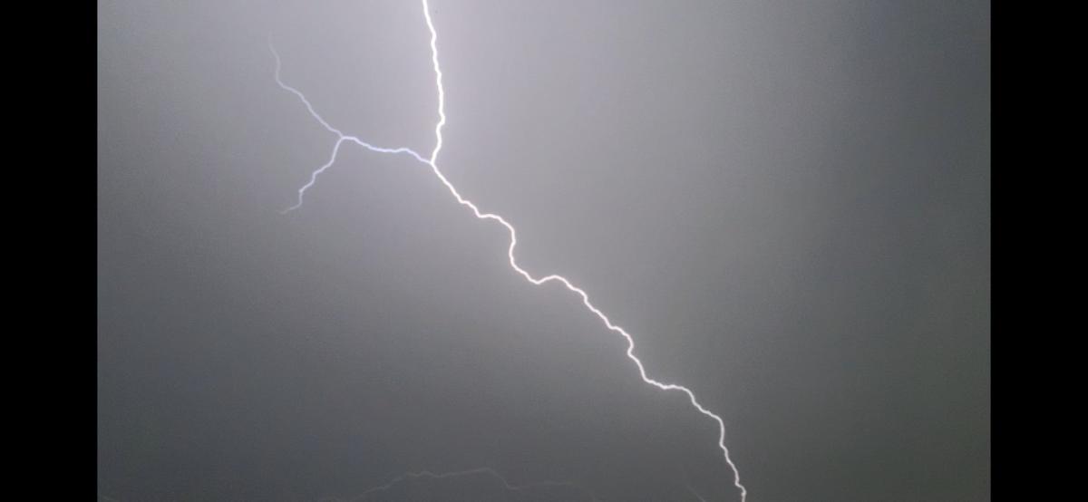
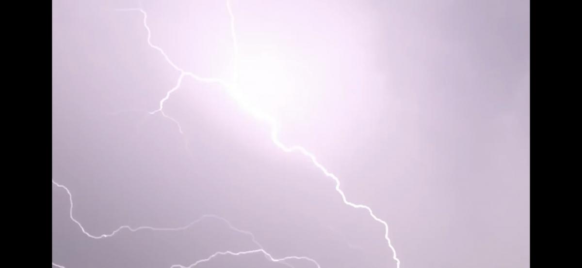
LARGE swathes of Britain have experienced storms and lightning strikes as the country braces for what could be its hottest day ever later this week.
Thunderstorms moved into southern and western areas late on Tuesday evening, with the Met Office issuing a yellow severe weather warning for most of England, Wales and Scotland until 9am on Wednesday.
Most residents in the north west will have been woken up around 2am by the thunder.
North Wales was the wettest area overnight, getting 15mm of rain in one hour.
But by Wednesday morning, much of the country was already experiencing temperatures far above normal for this time of year.
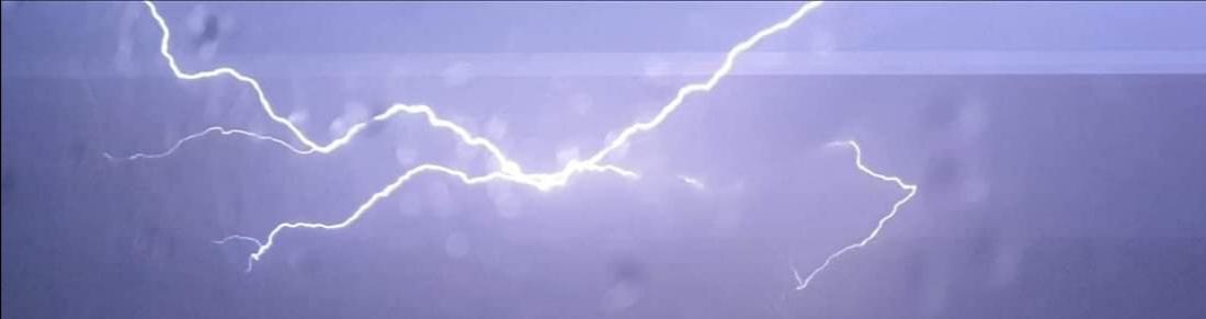
Woken by thunder and lightning in the night? You won't have been alone... widespread #thunderstorms developed across many parts of the UK. pic.twitter.com/sHVzUldhvw
— BBC Weather (@bbcweather) July 24, 2019
“Quite a lot of places are back up to 23 or 24 degrees already (at 5am),” Met Office meteorologist Emma Smith said.
“It’s normally 13 or 14 degrees at this time of year, so that’s 10 degrees above average.”
It comes after temperatures across England exceeded 30C (86F) on Tuesday, with forecasters predicting even hotter temperatures on Wednesday.
READ -> Firefighters to the rescue after a Winsford House is STRUCK BY LIGHTNING
“It will get to 35 degrees on Wednesday, with a small chance it will get to 36C,” said Ms Smith.
The highest overnight average temperature ever seen in the UK was 23.3C (73.94F) in July 1948.
Send us your lightning pictures from last night's storm
Did the storm wake you up last night? Send us your pictures here


Comments: Our rules
We want our comments to be a lively and valuable part of our community - a place where readers can debate and engage with the most important local issues. The ability to comment on our stories is a privilege, not a right, however, and that privilege may be withdrawn if it is abused or misused.
Please report any comments that break our rules.
Read the rules here